NOAA 19 2025/05/31 11:55
|
NOAA 19 2025/05/30 21:49
|
NOAA 19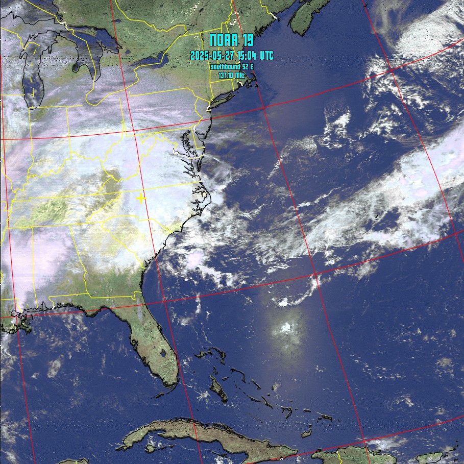 2025/05/27 11:05 |
NOAA 19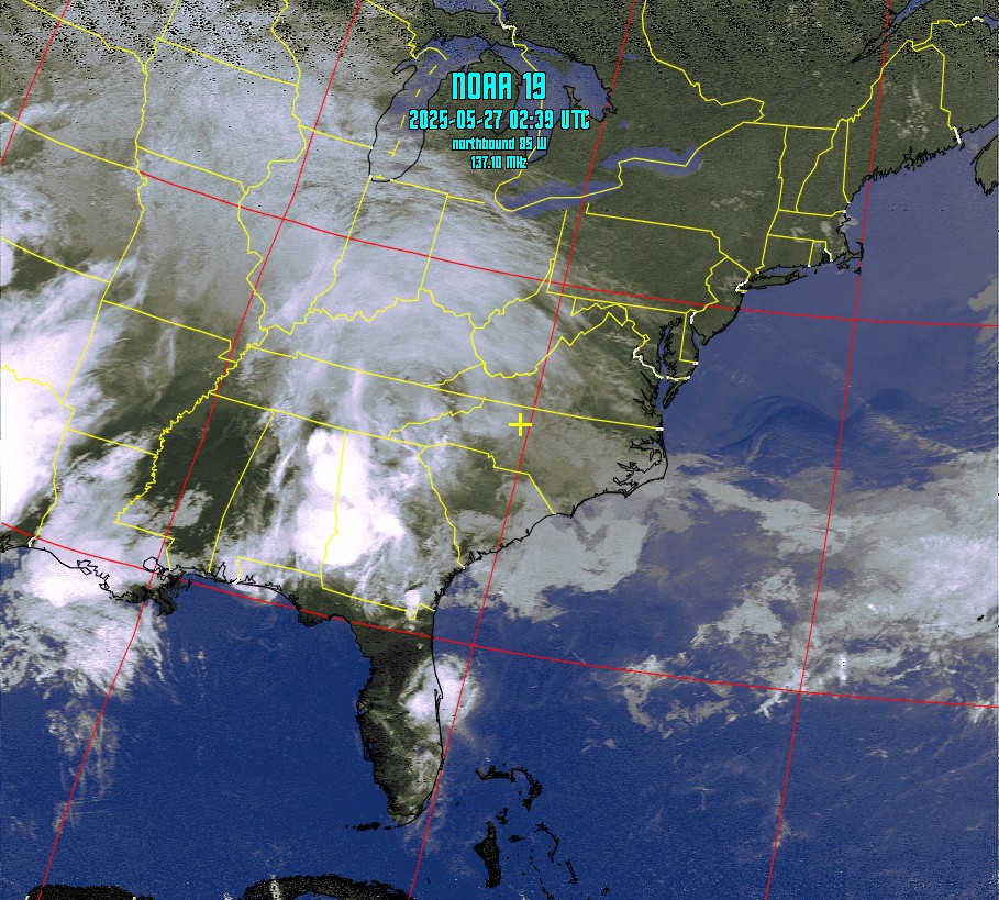 2025/05/26 22:41 |
NOAA 19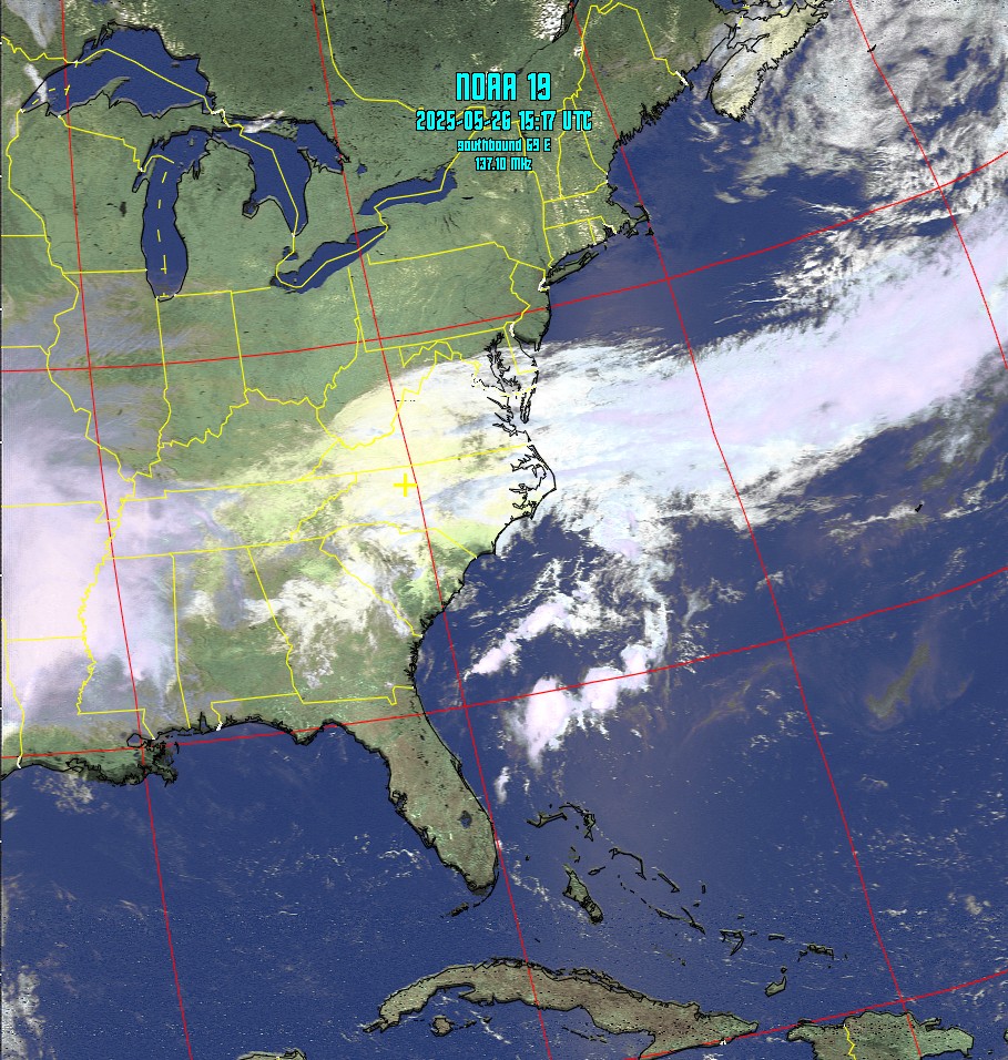 2025/05/26 11:17 |
NOAA 19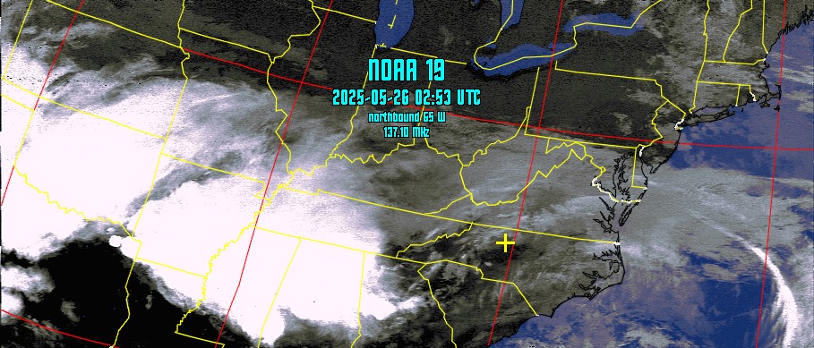 2025/05/25 22:56 |
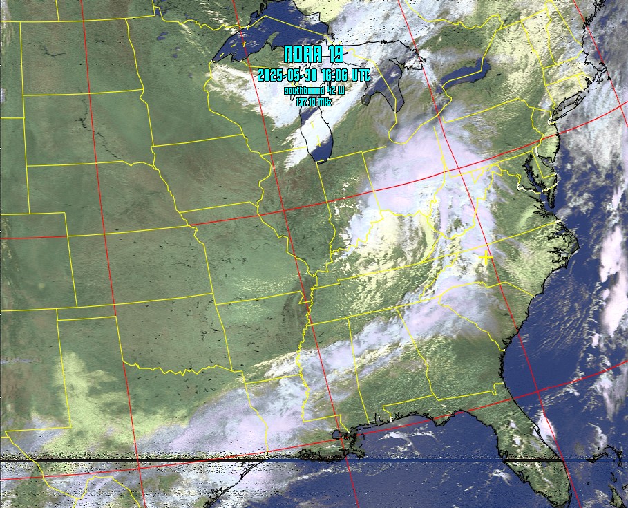
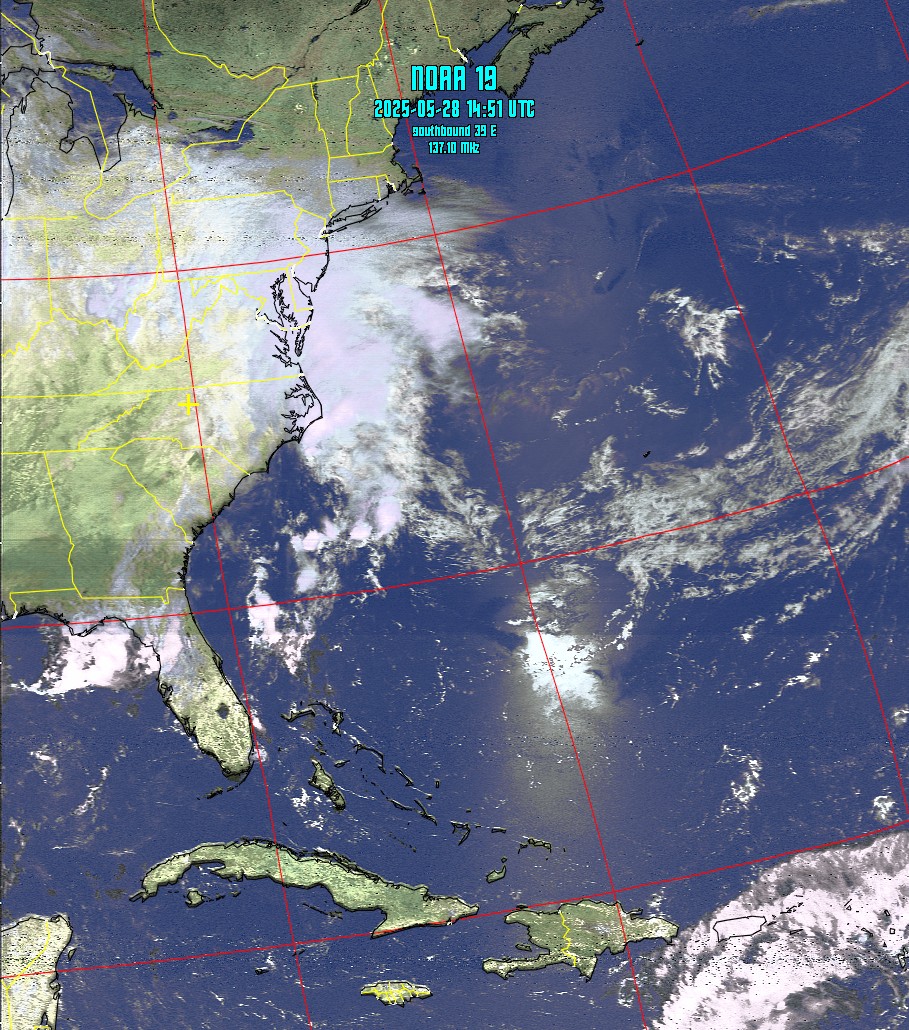
NOAA Weather Satellite Images
Image Archive
Last 12 satellite passes. Click
on any image below for a full sized image.
|
NOAA 19 2025/05/31 11:55
|
NOAA 19 2025/05/30 21:49
|
| NOAA 19 2025/05/27 11:05 |
NOAA 19 2025/05/26 22:41 |
| NOAA 19 2025/05/26 11:17 |
NOAA 19 2025/05/25 22:56 |
Current Satellite Positions by Orbitron
Refresh page to see latest info.
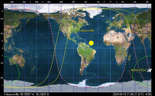
Table of Next Scheduled Satellite
Passes over tobaccovilleweather.com
| Satellite | Start of Pass | Maximum Elevation | Frequency |
| Name | Eastern Daylight Time | Degrees (East or West) | MHz |
| NOAA 19 northbound |
31 May 23:17 | 38° W | 137.10 |
| NOAA 19 southbound |
01 Jun 11:40 | 72° W | 137.10 |
| NOAA 19 northbound |
01 Jun 23:04 | 50° W | 137.10 |
| NOAA 19 southbound |
02 Jun 11:28 | 87° E | 137.10 |
| NOAA 19 northbound |
02 Jun 22:51 | 67° W | 137.10 |
| NOAA 19 southbound |
03 Jun 11:15 | 67° E | 137.10 |
| NOAA 19 northbound |
03 Jun 22:38 | 88° W | 137.10 |
| NOAA 19 southbound |
04 Jun 11:02 | 50° E | 137.10 |
| NOAA 19 northbound |
04 Jun 22:26 | 71° E | 137.10 |
| NOAA 19 southbound |
05 Jun 10:50 | 38° E | 137.10 |
| NOAA 19 northbound |
05 Jun 22:13 | 54° E | 137.10 |
| NOAA 19 southbound |
06 Jun 12:18 | 33° W | 137.10 |
| Image transmissions are received directly from weather satellites by a downlink at tobaccovilleweather.com. The images are captured and processed by WXtoImg software. |
© 2006 tobaccovilleweather.com All rights reserved.
Unauthorized duplication or distribution is prohibited
Never
base important decisions on this or any
other unofficial weather information.